


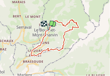

12.3 km | 31 km-effort

User


FREE GPS app for hiking
 SityTrail
IGN / Geographical institutes
SityTrail World
The world is yours!
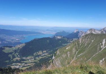
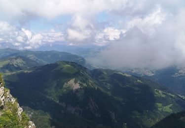
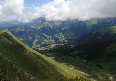
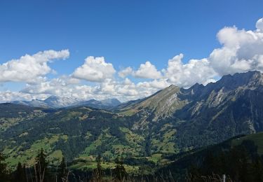
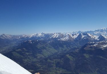
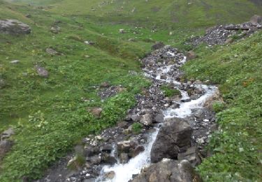
Trail Walking of 17.1 km to be discovered at Auvergne-Rhône-Alpes, Upper Savoy, Le Bouchet-Mont-Charvin. This trail is proposed by flip38.
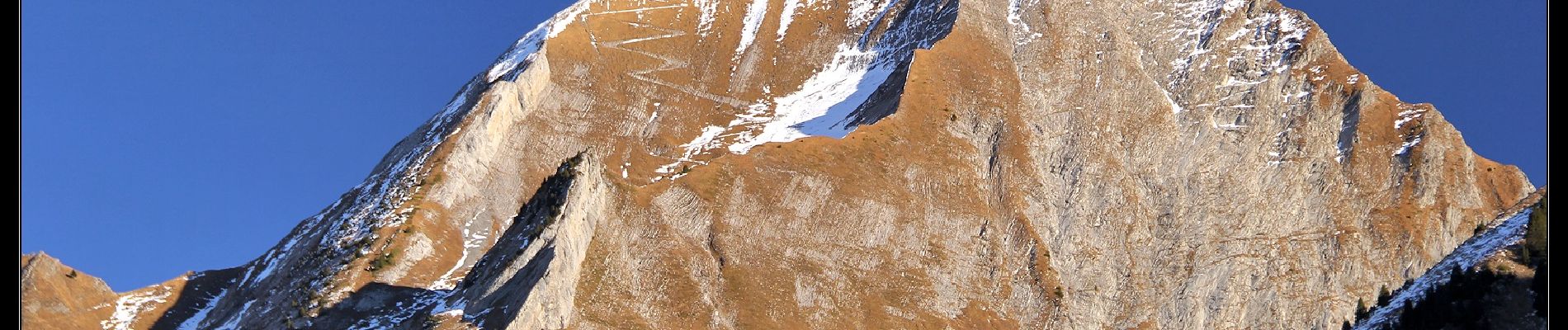
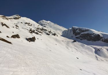
Joli randonnée bien diversifiée mais exigeante au pied du Mont Charvin.
Bien balisé, sauf entre les Fontanettes et la Savatte, le sentier se perd même autour des Frasses où l'on utilise les prés.
D'autres informations sur mon site : http://surlessommets.blog.free.fr/


Walking

Walking
Touring skiing
Walking
Walking

Touring skiing
Walking
Other activity
Walking